・
Pacific Ocean
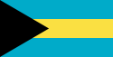
Bahamas
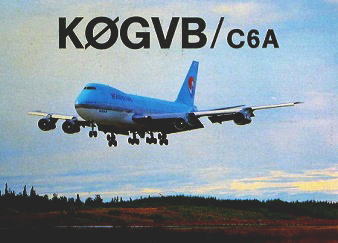
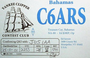
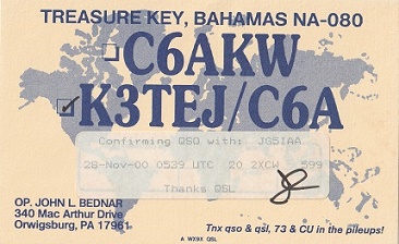
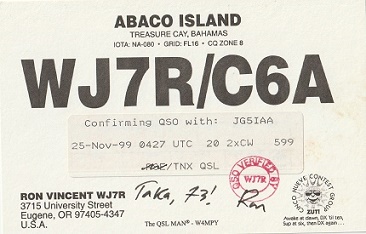
DXCC QSL Gallery
DXCC QSL Gallery
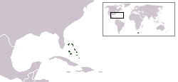
Caribbean DXCC Entities
Caribbean DXCC Entities
Bahamas
国旗やバナー、ボタン、青色文字などをクリックすると簡単な紹介ページへ移ります。
(
バハマ
は、
太平洋
の
マーシャル諸島
に次いで世界で2番目に平均標高が低い国です。)
●標高の低い国と高い国 Low and High Altitude Countries
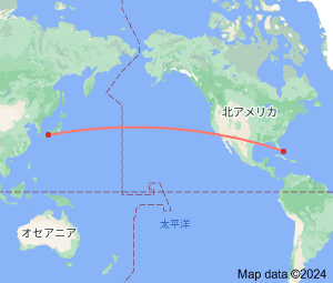
JA
Bahamas
JA
から
バハマ
の方位と距離
北東 約12,700㎞
イスパニョーラ島
・
JA5PWW
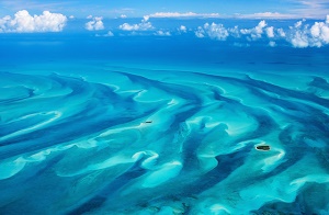
バハマブルーの美しい海で有名な世界屈指のリゾート地になっています。
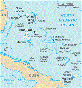
この地図をクリックするとバハマの拡大地図に変わります。
バハマ
キューバ
フロリダ
USA
Continent;NA CQ;08 ITU:11 25°00’North 77°40’West UTC-5 (JST-14)
バハマ
は、約7,000の島々と約2,400の岩礁からなる珊瑚礁の
群島国家
で、
アメリカ合衆国
のフロリダの直ぐ南東に位置し、観光業と金融業が
経済の中心をなす
島国
です。
The
Bahamas
, officially the
Commonwealth of the Bahamas
, is an
island country
within the Lucayan Archipelago of the
West Indies
in the
North Atlantic
. It is located north of
Cuba
and northwest of island of
Hispaniola
(split between
Dominican Republic
and
Haiti
)
and the
Turks and Caicos Islands
,
southeast of the
US state of Florida
,
and east of of the Florida Keys
.