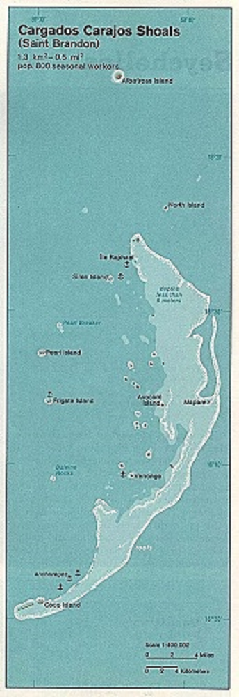
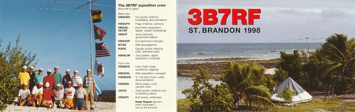
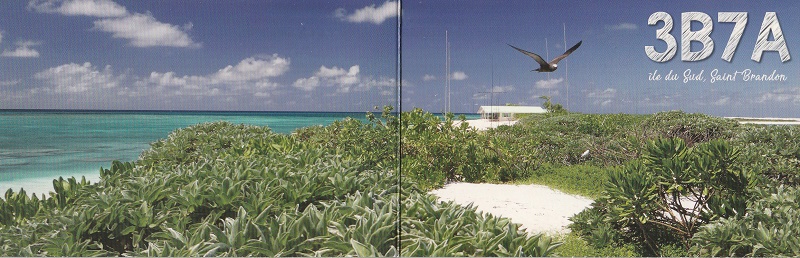
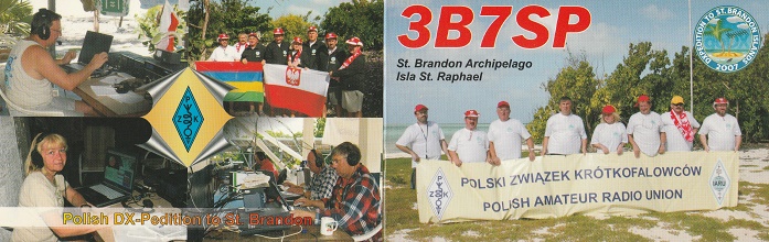
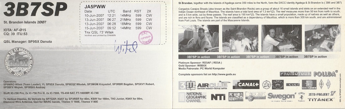
セント ブラドン諸島は、サンゴ礁や砂地で低木やブッシュに覆われ、低地で、少数の住人もいるようです。
The Saint Brandon Islands are low-lying, featuring coral reefs and sandy
areas covered with shrubs and brush, and appear to have a small number
of inhabitiants.
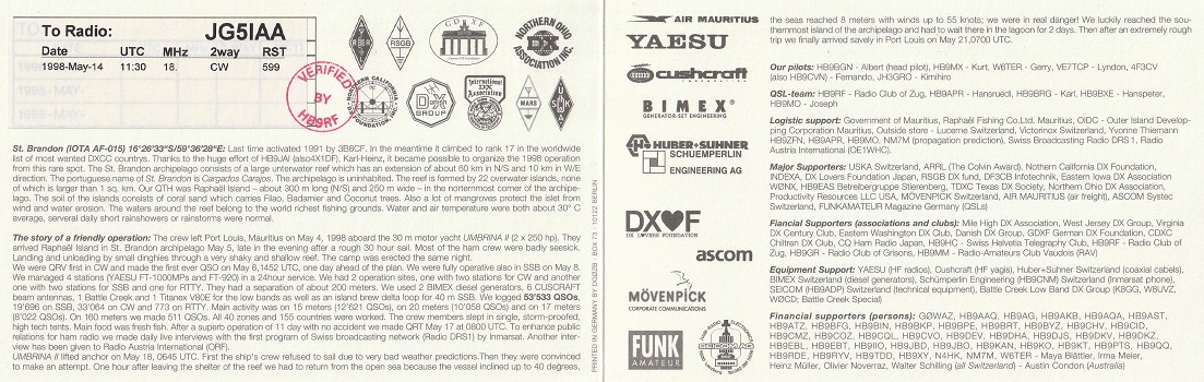
セント ブランドン諸島 St. Brandon Islands
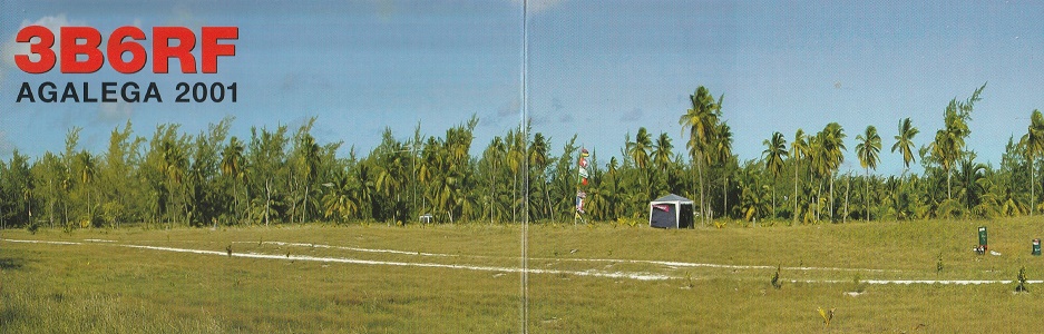
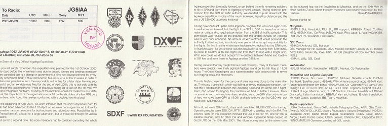
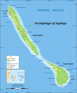
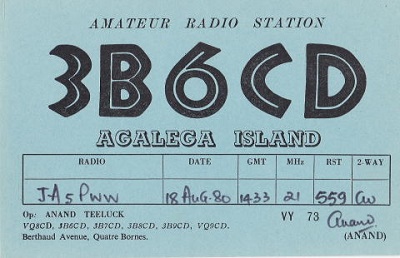
アガレガ諸島 Agalega Islands
クリックすると拡大します。 Click to enlarge.
クリックすると拡大します。 Click to enlarge.
クリックすると拡大します。 Click to enlarge.
この地図をクリックすると拡大地図に変わります。
Click the map to view an enlarged version.
クリックすると拡大します。 Click to enlarge.
クリックすると拡大します。 Click to enlarge.
国旗やバナー、ボタン、青色文字などをクリックすると簡単な紹介ページへ移ります。 Clicking on the national flag, banners, buttons, blue letters, etc, will take you to an explanation page。
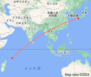
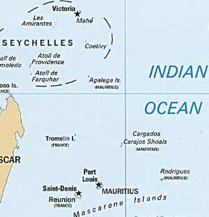
セント ブランドン諸島(3B7)は、モーリシャス主島(3B8)の北東へ約 430 kmの位置にあります。
16°35’South 59°37’East
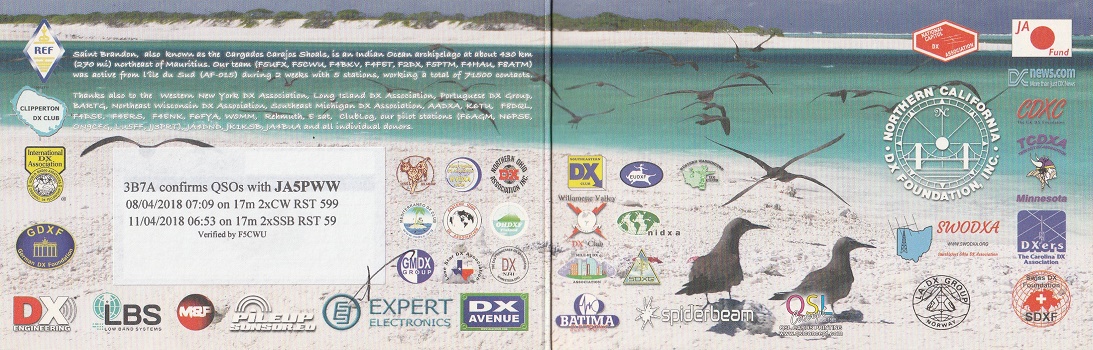
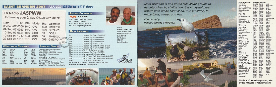
Saint Brandon, also known as the Cargados Carajos Shoals, is an Indian Ocean archipelago about 430 km (270 mi) northeast of Mauritius Island.
St. Brandon Is.
Agalega Is.
アガレガ諸島(3B6)は、モーリシャス主島(3B8) から北へ約 1,050 kmの位置にあります。
10°24’54”South 56°38’6”East
Agalega is a dependency of Mauritius which consist of two outer islands located in the Indian Ocean, about 1,050 km (650 mi) north of Mauritius Island.