DXCC QSL Gallery
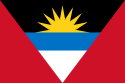
Antigua & Barbuda
Caribbean DXCC Entities
Pacific Ocean
・
DXCC QSL Gallery
Caribbean DXCC Entities
Antigua & Barbuda
国旗やバナー、ボタン、青色文字などをクリックすると簡単な紹介ページへ移ります。
Antigua & Barbuda
JA
JA
から
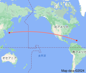
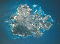
アンティグア・バーブーダ
の方位と距離
北東 約14,120km
・
18世紀、この島の港は、
英国(UK)
にとって
カリブ
の玄関口として重要な中継基地の役割であったそうです。
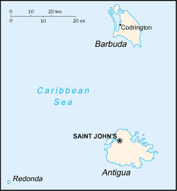
Continent;NA CQ;08 ITU;11 17°03’North 61°48’West UTC-4 (JST-13)
アンティグア・バーブーダ
は、
カリブ海
東部の
小アンティル諸島
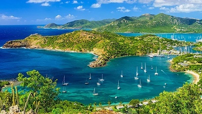
に位置し、観光を主要産業とする国で、国名は2つの主な島を合わせたものだそうです。
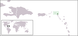
Antigua and Barbuda
is a sovereign
island State
in the
Caribbean
. It lies at the conjuncture of the
Caribbean Sea
and the
Atlantic Ocean
in the Leeward Islabds part of the
Leeward Antilles
. It consists of major islands, Antigua and Barbuda, and number of smaller islands
.
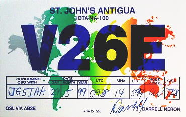
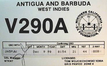
JA5PWW
アンティグア・バーブーダ
↓
プエルト リコ
イスパニョーラ島