Pacific Ocean
・
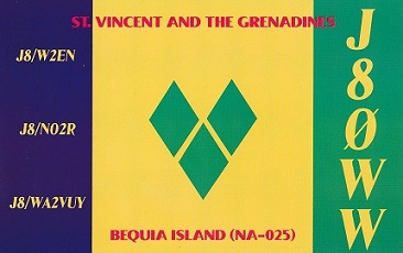
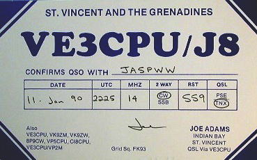
Saint Vincent and the Grenadine
DXCC QSL Gallery
DXCC QSL Gallery
Caribbean DXCC Entities
Caribbean DXCC Entities
Saint Vincent and the Grenadine
国旗やバナー、ボタン、青色文字などをクリックすると簡単な紹介ページへ移ります。
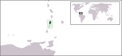
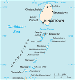
Saint Vincent and the Grenadines
St. Vincent & Grenadines
JA
JA
から
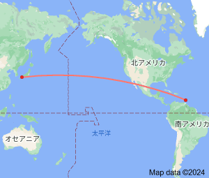
セント ビンセント・グレナディーン
の方位と距離
北東 約14,570km
・
Continent;NA CQ;08 ITU;11 13°15’North 61°12’West UTC-4 (JST-13)
セント ビンセント・グレナディーン
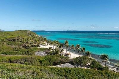
は、カリブ海の小アンティル諸島に位置し、火山島のセント ビンセントと珊瑚礁のグレナディーン諸島からなる国です。
観光業とバナナ生産などが経済の中心のようです。
Saint Vincent and the Grenadines
is an English-Speaking Caribbean country of several islands in the
LesserAntilles
island arc in the southeast
Windward Islands
, which lies in the
West Indies
at the southern end of the eastern border of the
Caribbean Sea
where the latter meets
the
Atlantic Ocean
.
To the north of Saint Vincent lies
Saint Lucia
,
to the east is
Barbados
,
and
Grenada
lies to the south
.
セント ビンセント・
グレナディーン→
JA5PWW