Caribbean DXCC Entities
Caribbean DXCC Entities
Pacific Ocean
DXCC QSL Gallery
British Virgin Is.
Montserrat
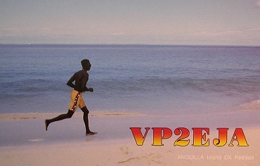
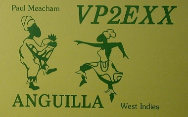
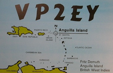
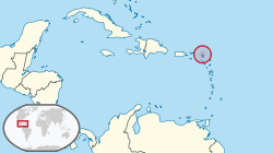
Anguilla
UK DXCC Entities
・
British Virgin Is.
Montserrat
DXCC QSL Gallery
UK DXCC Entities
Anguilla
VP2 Series DXCC Entity
・VP2E Anguilla
・VP2M Montserrat
・VP2V British Virgin Islands
Central America
South America
国旗やバナー、ボタン、青色文字などをクリックすると簡単な紹介ページへ移ります。
JA
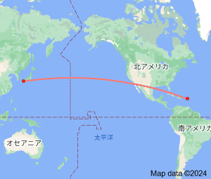
Anguilla
JA
から
アンギラ
の方位と距離
北東 約13,960km
・
雑談;お国事情
「もう植民地はイヤだ」と独立運動に至るケースが世界歴史の通例ですが、「植民地の方がいい」と独立運動を始めた奇妙稀なたケースが
アンギラ
だそうです。
(事情はいろいろ混み入っているようですが・・・)
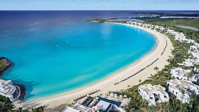
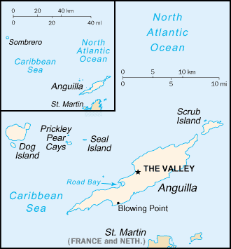
美しい海が自慢の
アンギラ
は、すぐ南にある
セントマーチン島
とフェリーで20分程の近さだそうです。
それでも非常に短い国際空路定期便も飛んでいるそうです。
Continent;NA CQ;08 ITU;11 18.22723°North 63.04899°West UTC-4 (JST-13)
アンギラ
はウナギの意味で、島の形が似ていたから命名されたそうです。
Anguilla
is a
British Overseas Territory
in the
Caribbean
. It is one of the most northerly of the Leeward Islands in the Lesser Antilles,
lying east of the
Puerto Rico
and the Virgin Islands (
British Virgin Islands
,
US Virgin Islands
) and directly north of
Saint Martin
.
JA5PWW
キューバ
イスパニョーラ島
アンギラ