国旗やバナー、ボタン、青色文字などをクリックすると簡単な紹介ページへ移ります。
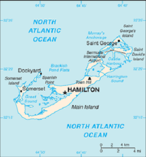
Continent;NA CQ;05 ITU;11 32°32’North 64°74’West UTC-4 (JST-13)
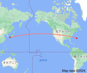
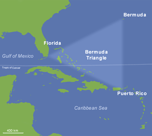
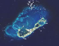
バミューダ諸島は、北大西洋にある群島、この地域には「謎のバミューダトライアングル」というミステリーがあります。
Bermuda is a British Overseas Territory in the North Atlantic Ocean, in the west of the Sargasso Sea, roughly 1,070 km (665 mi)
east-southeast of Cape Hatteras on the Outer Banks of North Carolina, United States which is the nearest landmas. Its next nearest neighbor
is Cape Sable Island, Nova Scotia, Canada which is 1,759 km (1,093 mi). It is also located 1,759 km (1,093 mi) north-northeast
of Havana,
Cuba, 1,538 km (956mi) north of the British Virgin Islands, 1,537 km(955mi) north of San Juan, Puerto Rico.
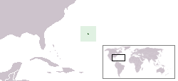
バミューダ諸島