ラブラドル半島(カナダ
世界一長い国境線(カナダアメリカ
●世界の主な半島  Major Peninsula of the World
●世界の国境  World Borders
TOP
Arctic
Arctic
DXCC QSL Gallery
Sable Island
St. Paul Island
Canada
North American DXCC Entities
●北大西洋の島国やDXCCエンティティ  Island Countries and DXCC Entities in the North Atlantic Ocean
Pacific Ocean
DXCC QSL Gallery
North American DXCC Entities
Sable Island
St. Paul Island
Canada
カナダ セント ポール島 セーブル島 北米のDXCCエンティティ 北極圏 DXCC QSL ギャラリー
アメリカ合衆国
カナダ
グリーンランド
アラスカ
北極圏
国旗やバナー、ボタン、青色文字などをクリックすると簡単な紹介ページへ移ります。
カナダは世界有数の多島の国です。)
●世界の島や島国  Islands and Island Countries of the World
世界三大湖  The 3 Largest Lakes in the World
(スペリオル湖 Lake Superior)
●北極圏にある国やDXCCエンティティ  Arctic Countries and DXCC Entities
●世界の国旗  Flags of the World
 (珍しい国旗;カナダの国旗に描かれているカエデの葉の頂点は11ありますが、自然界にはそのようなカエデの葉は無いそうです。)
JA
Canada
JA からカナダ(中央) の方位と距離
北東 約8,530km
カナダの国内総生産(GDP)は世界で10番目の大きさです。(2023年)
●世界の国 トップ10ランキング  World Countries Top10 Ranking
●世界三大瀑布 The 3 biggest Waterfalls in the World
 (ナイアガラの滝 Niagara Falls)
●英国の消滅DXCCエンティティ (ニュー ファンドランド, ラブラドール)  UK's Deleted DXCC Entities (Newfoundland, Labrador)
TOP カナダ セント ポール島 セーブル島 北米のDXCCエンティティ 北極圏 DXCC QSL ギャラリー
The border between Canada and the United States is the longest international border in the world. The land border has two sections; Canada's border with the contiguous United States to its south,
and with the U.S. state of Alaska to its west.
CQ ゾーン2が、JAの電波が届きにくい場所のひとつになっているようです。
Zone 2 Map
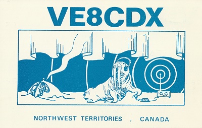
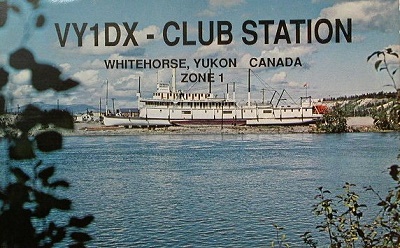
Continent;NA CQ;1,2,3,4,5 ITU;2,3,4,9,75    UTC-3:30,-4,-5,-6,-7,-8 (JST-12:30,-13,-14,-15,-16,-17)
北アメリカ大陸北部のカナダロシア に次いで世界で2番目の国土面積です。
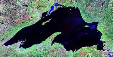
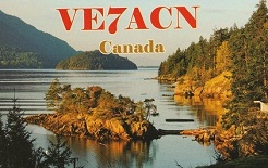
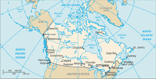
Canada is a country in the northern part of North America, making it the world's second largest country by total area with the world's
longest coastline. Its extend from the Atlantic Ocean to the Pacific Ocean and northward into the Arctic Ocean.
カナダ  Canada
世界の大きな国トップ5
世界の地理番付 World Geography Rankings
JA5PWW
カナダでは、本土に極近い属島2か所が、何らかの理由でDXCCセパレートエンティティになっています。
セーブル島  Sable Island
セント ポール島  St. Paul Island