World Geography
TOP
世界の地理(目次) TOP
South Atlantic DXCC Entities
UK DXCC Entities
UK DXCC Entities
国旗やバナー、ボタン、青色文字などをクリックすると簡単な紹介ページへ移ります。
英国海外領土セント ヘレナ・アセンション島及びトリスタン ダ クーニャ地域
Ascension I.
JA
Ascension I.
JA からアセンション島 の方位と距離
西北 約15,600km
●三大洋の真ん中(太平洋、大西洋、インド洋)  Near the Center of the 3 Oceans (Pacific Ocean, Atlantic Ocean, Indian Ocea)
South Atlantic Ocean
Southern Africa
South America
Tristan da Cunha
Ascension Island
Saint Helena
Tristan da Cunha & Gough Is.
Saint Helena
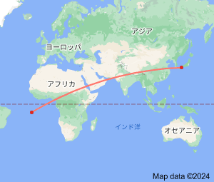
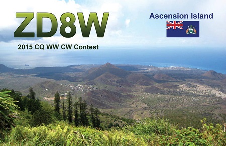
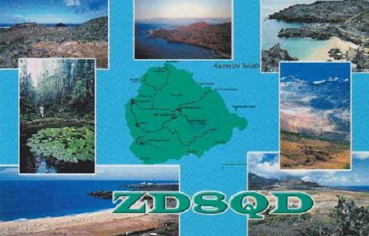
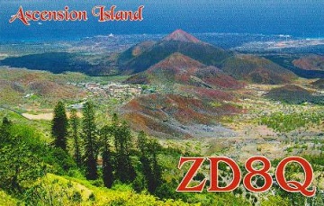
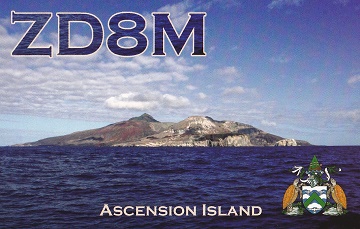
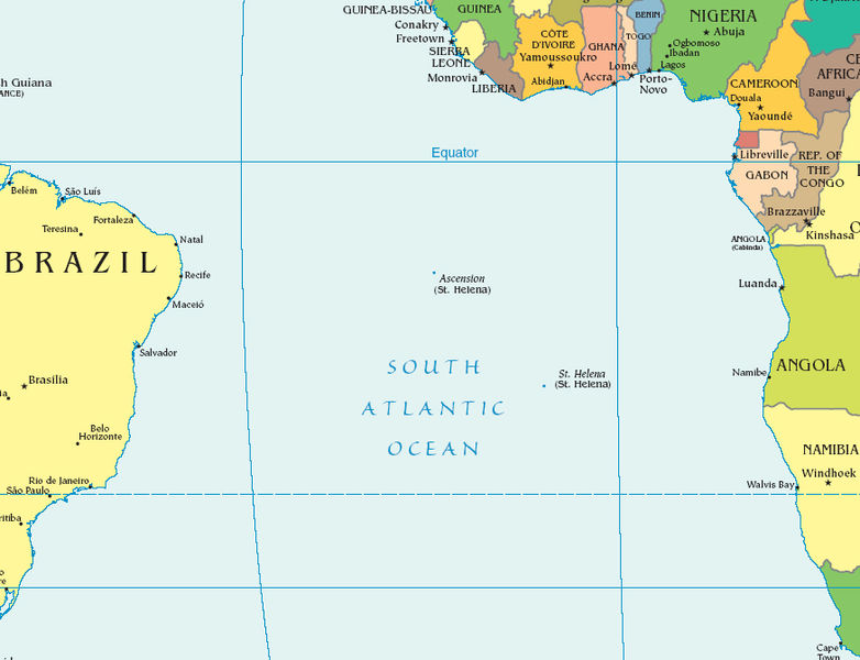
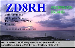
Ascension Island is an isolated volcanic island, 7°56' south of the Equator in the South Atlantic Ocean. It is about 1,600 km (1,000 mi) from the coast of Africa,
and 2,250 km (1,400 mi) from the coast of Brazil.

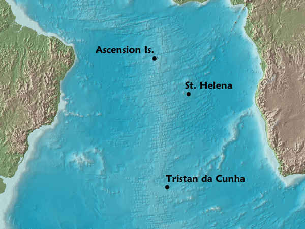
今も昔も英米軍事戦略上の要衝地の一つのようです。
アセンション島
は、大西洋のほぼ真ん中に浮かぶ火山島です。
その地理的要素と大型ジェット機が離発着できる滑走路の存在が、英国米国 の安全保障の戦略に欠かせない場所になっているようです。
Continent;AF CQ;36 ITU;66  8°South 14°West    UTC+0 (JST-9)  
アセンション島 (英国領) Ascension Island (UK)
●Tristan da Cunha
●Saint Helena
●Ascension Island
「英国のDXCCエンティティ」
「UK DXCC Entities」
JA5PWW

DXCC QSL Gallery
Geography of Africa
DXCC QSL Gallery
Tristan da Cunha & Gough Is.
Ascension I.
Saint Helena
Geography of Africa
Saint Helena, Ascension and Tristan da Cunha are British Overseas Territory,
located in the South Atlantic and consisting of the island of Saint Helena,Ascension island,
and the archipelago of
Tristan da Cunha including Gough Island.
ZD7 St. Helena
ZD8 Ascension Island
アセンション島 セント ヘレナ島 トリスタン ダ クーニャ&ゴフ島 英国のDXCCエンティティ アフリカ地域の地理 南大西洋のDXCCエンティティ DXCC QSL ギャラリー
南大西洋英国海外領土セント ヘレナ・アセンション及びトリスタン ダ クーニャ地域があり、
3か所がDXCC上セパレートエンティティになっています。(セント ヘレナ島が行政中心です。)

  
アセンション島 セント ヘレナ島 トリスタン ダ クーニャ&ゴフ島 英国のDXCCエンティティ アフリカ地域の地理 南大西洋のDXCCエンティティ DXCC QSL ギャラリー