World Geography
World Geography
Antarctica
Indian Ocean DXCC Entities
Indian Ocean DXCC Entities
DXCC QSL Gallery
Geography of Africa
South Africa
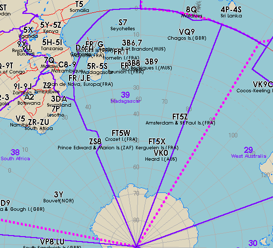
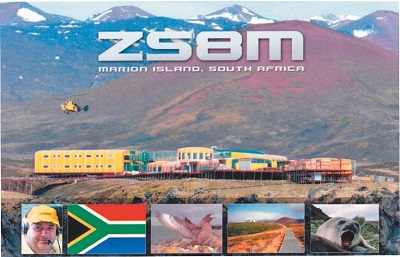
Prince Edward & Marion Is.
DXCC QSL Gallery
Geography of Africa
South Africa
・
Prince Edward & Marion Is.
South Africa
Indian Ocean
インド洋
南アフリカ
国旗やバナー、ボタン、青色文字などをクリックすると簡単な紹介ページへ移ります。
Prince Edward & Marion Is.
JA
●亞南極地域のDXCCエンティティ Subantarctic DXCC Entities
JA
から
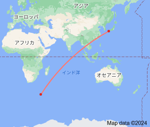
プリンス エドワード&マリオン島
の方位と距離
南西 約13,060km
プリンス エドワード& マリオン島
Continent;AF CQ;38 ITU;57 46°54′South 34°45′East UTC+2 (JST-7)
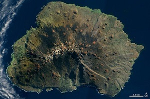
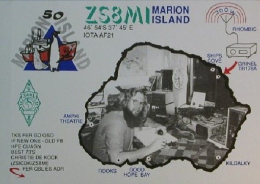
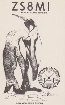
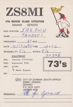
マリオン島 Marion Island
JA5PWW
・
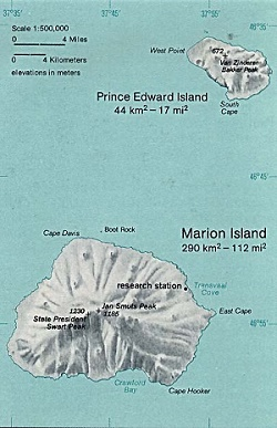
The
Prince Edward Islands
are two small islands in the
Subantarctic
Indian Ocean
that named
Marion Island
and
Prince Edward Island
.
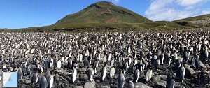
The only human inhabitants of the islands are the stuff of a meteorogical and biological research station.
南極大陸
プリンス エドワード諸島
は、
南アフリカ
のポートエリザベスから南東遥か1,770 kmの
インド洋
の南部にあり、更に20 kmほど離れて
マリオン島
があります。
この辺りは「吠える40度線」「狂える50度線」と呼ばれる厳しい海域のようです。
マリオン島
にある観測基地要員にハムがいるとアクティビティが保たれるようです。