DXCC QSL Gallery
Pacific DXCC Entities
DXCC Entities in Oceania
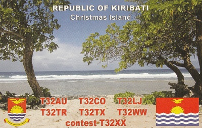
Rep. of Kiribati
Banaba I.
West Kiribati
Central Kiribati
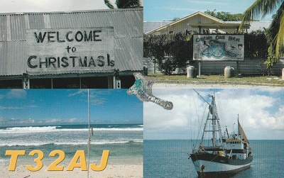
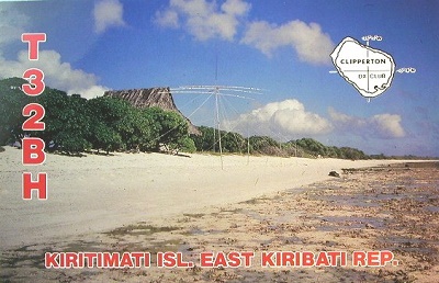
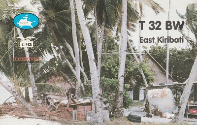
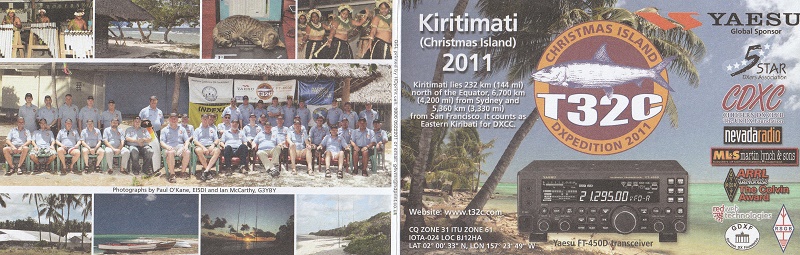
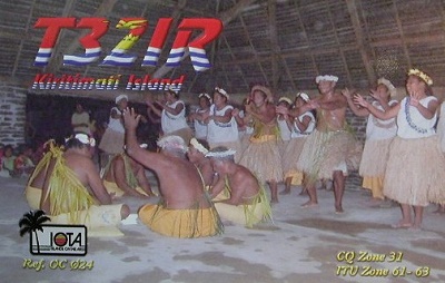
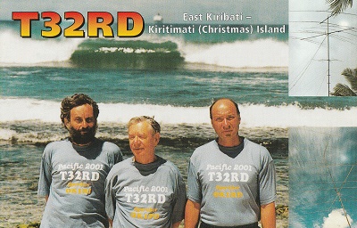
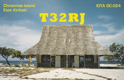
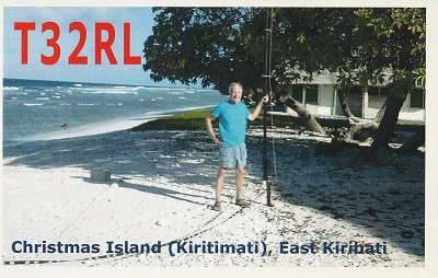
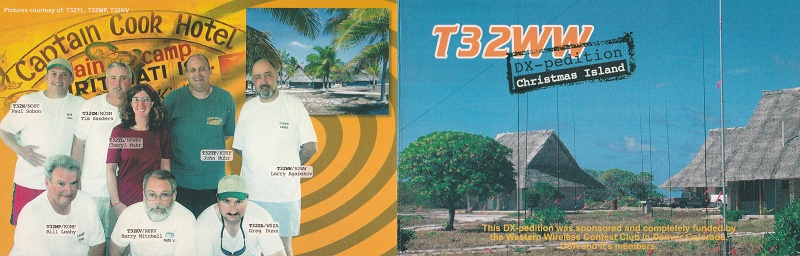
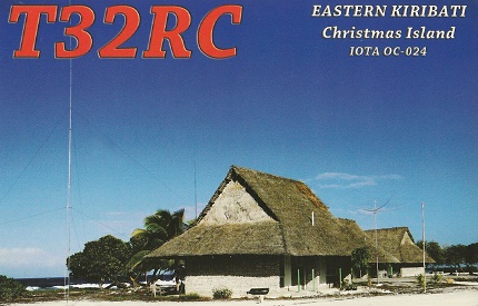
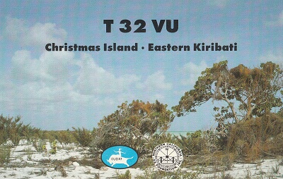
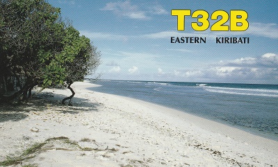
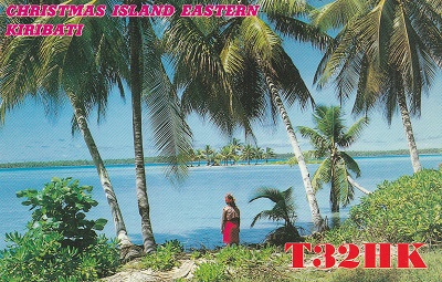
East Kiribati
・
Pacific DXCC Entities
East Kiribati
Pacific Ocean
JA
Banaba I.
West Kiribati
DXCC QSL Gallery
DXCC Entities in Oceania
Rep. of Kiribati
Central Kiribati
国旗やバナー、ボタン、青色文字などをクリックすると簡単な紹介ページへ移ります。
East Kiribati
JA
から
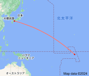
東キリバス
の方位と距離
東南 約8,520km
●東キリバスのIOTAグループ IOTA Group of East Kiribati
③
②
①
・
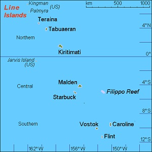
地理的にはライン諸島に属し、北端部に位置する
①キングマンリーフ
、
②パルミラ環礁
と中ほどにある
③ジャービス島
は
米国領
のDXCCエンティティになっています。
Continent;OC CQ;31 ITU;61,63 1.7°North 157.2°West UTC+14 (JST+5)
東キリバス
は、
キリバス
の東端、
ハワイ諸島
南の
中部太平洋
に位置する
ライン諸島
で、行政上の首府はクリスマス島に置かれています
。
The
Line Islands
are Chain of atolls and coral islands. The islands were formed by volcanic activity and are located in the central
Pacific Ocean
,
south of the
Hawaiian Islands
.
Eight of the islands form parts of
Kiribati (East Kiribati)
, while the remaining three
(
Kingman Reef
,
Palmyra Atoll
,
Jarvis Island
) are
United States territories grouped
.
ライン諸島
JA5PWW