Pacific DXCC Entities
DXCC QSL Gallery
DXCC Entities in Oceania
Rep. of Kiribati
East Kiribati
Central Kiribati
West Kiribati
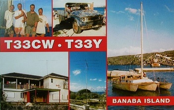
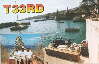
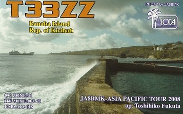
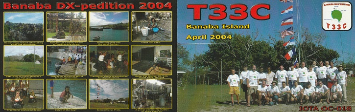
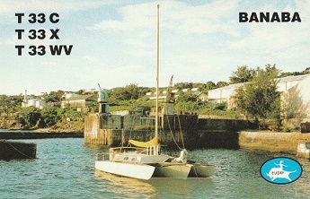
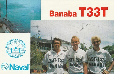
Banaba I
・
Pacific DXCC Entities
Banaba I.
Pacific Ocean
West Kiribati
DXCC QSL Gallery
DXCC Entities in Oceania
Rep. of Kiribati
East Kiribati
Central Kiribati
国旗やバナー、ボタン、青色文字などをクリックすると簡単な紹介ページへ移ります。
JA
Banaba I.
JA
から
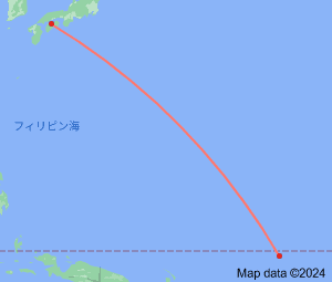
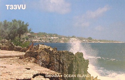
バナバ島
の方位と距離
東南 約5,410km
・
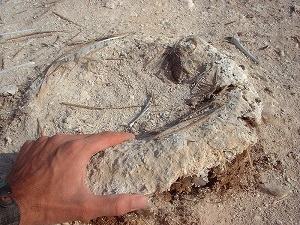
リン鉱石
バナバ島
は、
ナウル島
、
フレンチポリネシア
のマカテア島と並び、
太平洋の三大リン鉱石生産地であったそうです。
Continent;OC CQ;31 ITU;65 0°51’34”South 169°12’13”East UTC+12 (JST+3)
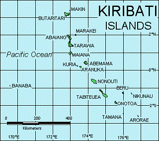
バナバ島(オーシャン島)
は、
西キリバス(ギルバート諸島)
の東へ約350 km離れ、
ナウル
の西300 kmに位置する島です。
Banaba Island
is an island of
Kiribati
in the
Pacific Ocean
, west of the
Gilbert Islands
chain, it is the mostwest point of
Kiribati
,
lying 298 km (185 mi) east of
Nauru
which it is also nearest neighbour
.
JA5PWW
西キリバス
(ギルバート諸島)
バナバ島