DXCC QSL Gallery
Pacific DXCC Entities
DXCC Entities in Oceania
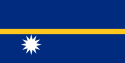
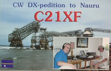
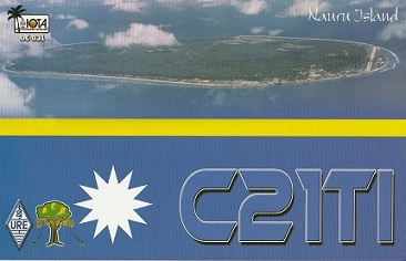
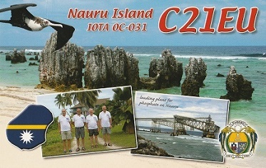
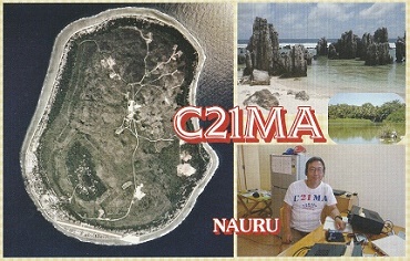
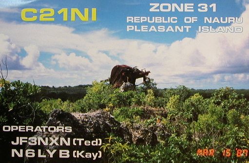
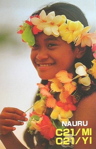
Nauru
Pacific Ocean
・
Nauru
DXCC QSL Gallery
Pacific DXCC Entities
DXCC Entities in Oceania
国旗やバナー、ボタン、青色文字などをクリックすると簡単な紹介ページへ移ります。
雑談その2;国名の由来
ナウル
は、現地の言葉で”私はビーチへ行く”と言う意味の文章を縮めたものだそうです。
●世界の面白い島や不思議な島
Interesting and Mysterious Islands of the World
(
太平洋
の丸い
島国
;
ナウル
)
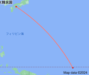
JA
Nauru
JA
から
ナウル
の方位と距離
東南 約5,190㎞
●丸い国と四角い国、細長い国 Round and Square Countries,Long and Narrow Countries
●世界の島や島国 Island and Island Countries of the World
ハワイ
インドネシア
フィリピン
オーストラリア
ニュー ジーランド
・
ナウル
雑談その1;アホウドリが作った世界一小さい島国
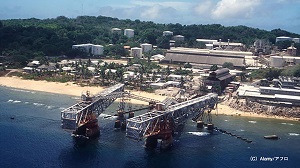
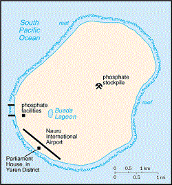
20世紀後半、化学肥料の原料となるリン鉱石の採掘によって、世界一裕福な国から、
その資源枯渇によって最貧国に転落した嘘のような本当の話で有名です。
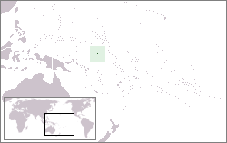
Continent;OC CQ;31 ITU;65 00°31’39”South 166°56’06”East UTC+12 (JST+3)
ナウル
は、
太平洋
南西部に位置する
一島国家
です。1990年代にはリン鉱石の輸出で栄えたが・・・
Nauru
, officially the
Republic of Nauru
, is an
island country
and microstate in
Oceania
, in the
Central Pacific
. Its nearest neighbour is
Banaba Island
in
Kiribati
about 300 km (190 mi) to the east. It lies northwest of
Tuvalu
,
1,300 km (810 mi) northeast of the
Solomon Islands
,
east-northeast of
Papua New Guinea
,
southeast of the
Federated States of Micronesia
and south of the
Marshall Islands
.
世界の小さな国トップ5
World Ranking
JA5PWW