TOP
Pacific DXCC Entities
DXCC QSL Gallery
Marshall Islands
DXCC Entities in Oceania
Pacific Ocean
DXCC QSL Gallery
DXCC Entities in Oceania
Marshall Islands
マーシャル諸島 オセアニアのDXCCエンティティ 太平洋のDXCCエンティティ DXCC QSL ギャラリー
国旗やバナー、ボタン、青色文字などをクリックすると簡単な紹介ページへ移ります。
JA
Marshall Is.
(地球温暖化による海面上昇の影響を受ける島国)
●世界の面白い島や不思議な島  Interesting and Mysterious Islands of the World
マーシャル諸島は、平均標高が世界で一番低い国です。)
●標高の低い国と高い国  Low and High Altitude Countries
JA からマーシャル諸島 の方位と距離
東南 約4,900km
●三大洋の真ん中(太平洋、大西洋、インド洋)  Near the Center of the 3 Oceans (Pacific Ocean, Atlantic Ocean, Indian Ocean)
フィリピン
インドネシア
オーストラリア
ニュー ジーランド
TOP マーシャル諸島 オセアニアのDXCCエンティティ 太平洋のDXCCエンティティ DXCC QSL ギャラリー

Pacific Map
マーシャル諸島
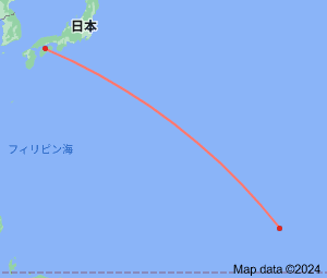
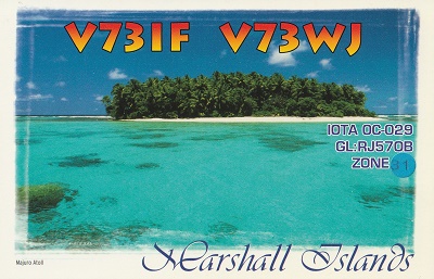
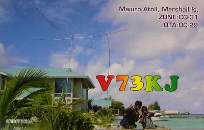
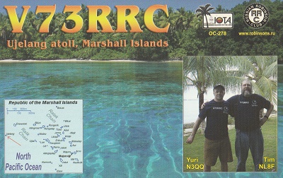
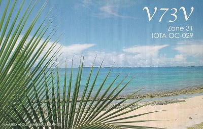
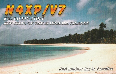
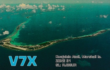
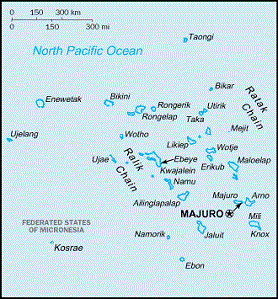
Republic of Marshall Islands
Continent;OC CQ;31 ITU;65  7°7’North  171°4’East     UTC+12 (JST+3)
マーシャル諸島は、「真珠の首飾り」と呼ばれ、マーシャル諸島全体を領土とするミニ島嶼国家です。
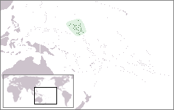
The Marshall Islands, officially the Republic of Marshall Islands, is an island country near Guam in the Pacific Ocean, slightlt west of
International Date Line
. Geographically, the country is part of the larger island group of Micronesia. The Islands share marintime boundaries
with
Wake island to the north, Kiribati to the southeast, Nauru to the south, and the Federated States of Micronesia to the west.
マーシャル諸島共和国 (通称 マーシャル諸島)
JA5PWW