World Geography
World Geography
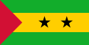
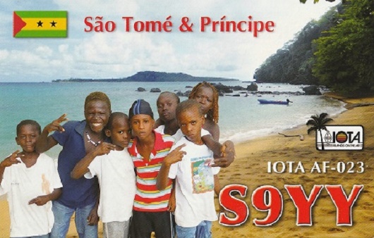
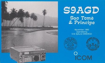
Sao Tome & Principe
Gulf of Guinea
〇
・
South Atlantic DXCC Entities
South Atlantic DXCC Entities
Sao Tome & Principe
国旗やバナー、ボタン、青色文字などをクリックすると簡単な紹介ページへ移ります。
(「アフリカのガラパゴス」;サオ トメ島)
●世界の面白い島や不思議な島 Interesting and Mysterious Islands of the World
●中央アフリカ地域の国とDXCCエンティティ Central African Countries and DXCC Entities
●世界の国旗 Flags of the World
(アフリカの色;緑黄赤)
●ギニアいろいろ About Guinea
・ギニア湾諸国 Gulf of Guinea Countries
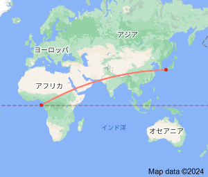
JA
Sao Tome & Principe
JA
から
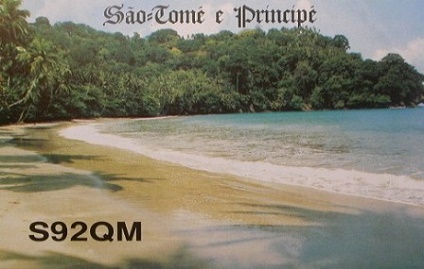
サオ トメ・プリンシペ
の方位と距離
西 約13,290km
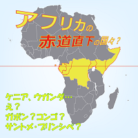
●赤道直下の国やDXCCエンティティ
Equatorial Countries and DXCC Entities
赤道直下
の
島国
;
サオ トメ ・プリンシペ
Continent;AF CQ;36 ITU;47 0°20’North 6°44’East UTC+0 (JST-9)
JA5PWW
サオ トメ・プリンシペ
・
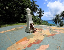
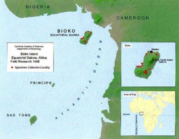
プリンシペ島
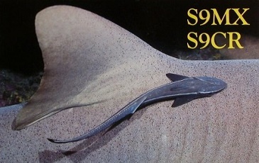
DXCC QSL Gallery
Geography of Africa
DXCC QSL Gallery
Geography of Africa
サオトメ島
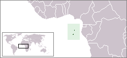
Sao Tome and Principe
(S9) consists of two archipelagos around the two main islands of Sao Tome and Principe, about 140km (87mi) apart
and about 250 and 225km (155 and 140mi) off the northwestern coast of
Gabon
(TR), respectively.
Sao Tome and Principe
, officially the
Democratic Republic of Sao Tome and Principe
, is an
island country
in the
Gulf of Guinea
, off the western equatreal coast of
Central Africa.
アフリカ西側の島国
サオ トメ・プリンシペ
は、
赤道直下
にあって
大西洋
の
ギニア湾
に浮かぶ火山島のサオ トメ島、プリンシペ島、その周辺の島々で
構成される
島国
です。