Samoa
Samoa
DXCC QSL Gallery
Pacific DXCC Entities
United States DXCC Entities
US Pacific Islands
Swains Island
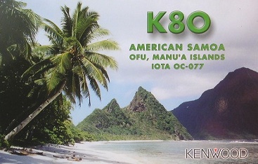
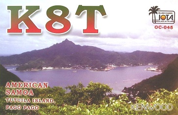
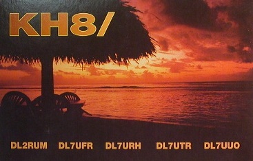
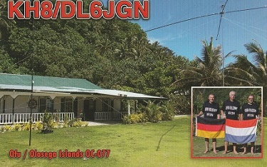
American Samoa
・
・
American Samoa
Pacific Ocean
DXCC QSL Gallery
US Pacific Islands
United States DXCC Entities
Pacific DXCC Entities
Swains Island
フィリピン
インドネシア
オーストラリア
ニュー ジーランド
国旗やバナー、ボタン、青色文字などをクリックすると簡単な紹介ページへ移ります。
JA
American Samoa
JA
から
アメリカンサモア
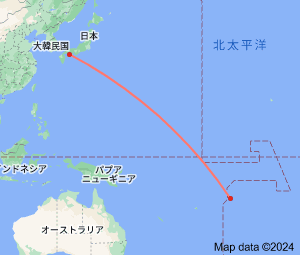
の方位と距離
東南 約8,030km
・
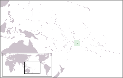
American Samoa
is the southernmost territory of the
United States
and one of two U.S. territories south of the
Equato
r, along with the uninhabited
Jarvis Island
.
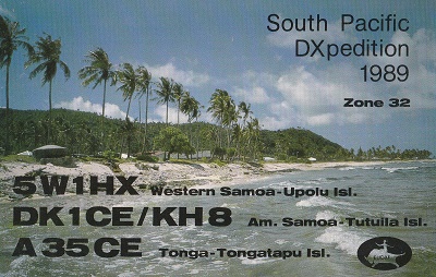
American Samoa
islocated west of the
Cook Islands
, north of
Tonga
, and some 500 km (310 mi) south of
Tokelau
, To the west are the islands of the
Wallis and Futuna
.
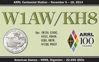
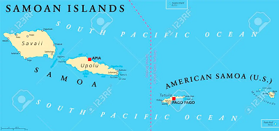
南太平洋
に位置する
サモア諸島
の東側が
アメリカ領サモア
、西側には
サモア独立国
があります。
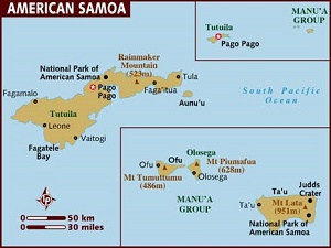
Continent;OC CQ;32 ITU;62 14.3°South 170.7°West UTC-11 (JST-20)
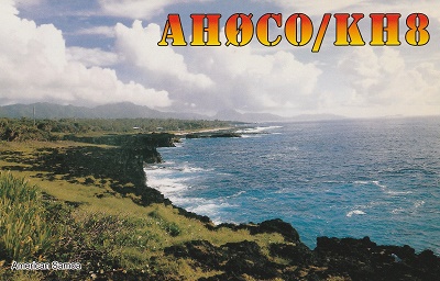
アメリカ領サモア
は、
南太平洋
のポリネシア地方にある
サモア諸島
の東半分で
アメリカ合衆国
の準州になっています。
(
サモア諸島
の西半分は
サモア独立国
です。)
American Samoa is an unincorporated territory of the
United States
located in the South Pacific Ocean, southeast of the
Independent State of Samoa
.
JA5PWW
●「サモア独立国」 「Independent State of Samoa」
アメリカンサモア
アメリカ領サモア
親エンティティのアメリカ領サモアから350km以上離れた属島のスウェインズ島がDXCCセパレートエンティティになっています
。
●スウェインズ島(アメリカ領サモア属島) Swains Island