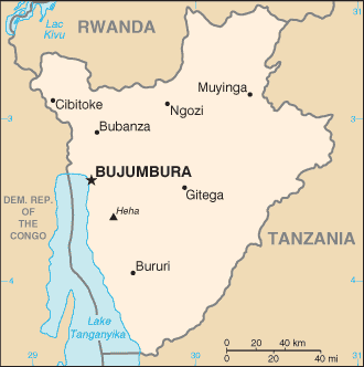
・アフリカ三大湖;タンガニーカ湖
・アフリカ大湖沼
国旗やバナー、ボタン、青色文字などをクリックすると簡単な紹介ページへ移ります。
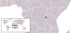
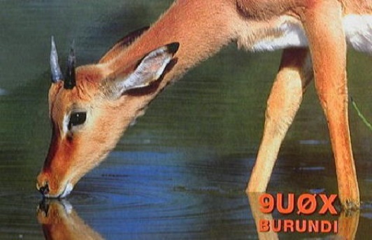
Burundi
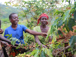
ブルンジーコーヒーの栽培
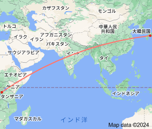
Continent;AF CQ;36 ITU;52 UTC+2 (JST-7)

Burundi, officially the Republic of Burundi, is landlocked and a small country in the Great Lakes region of Eastern Africa.
The country lies on a rolling plateu in the centre of Africa and the average
elevation is about 5,600 feet (1,707m).
タンガニーカ湖に面したナイル源流の国
ブルンジは、東アフリカ中部で標高1,000~2,000mの高原にある赤道に近い内陸国家です。
国土は北海道の約1/3にすぎないが、人口密度はアフリカで最も高い国一つだそうです。