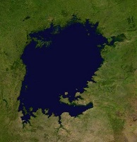
(ビクトリア湖 Lake Victoria)
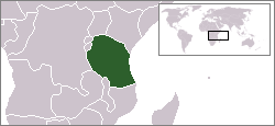
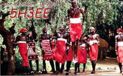
Tanzania
国旗やバナー、ボタン、青色文字などをクリックすると簡単な紹介ページへ移ります。
・アフリカ最大、世界で3番目に大きいビクトリア湖は、タンザニア、ウガンダ、ケニア の3ヵ国によって
分割領有されているそうです。(国境のある世界の湖)
・アフリカ三大湖
・アフリカ大湖沼
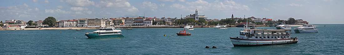
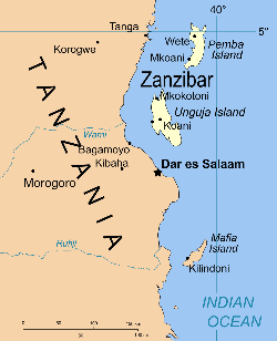
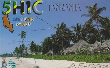
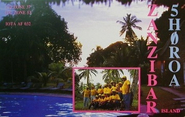
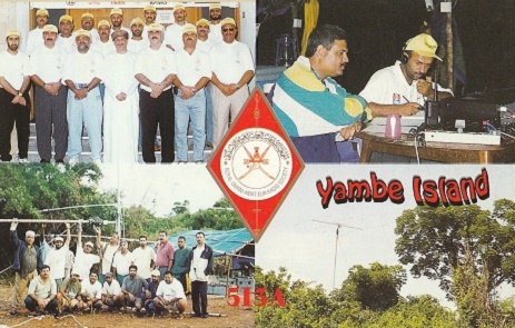
消滅DXCCエンティティ ザンジバル Zanzibar
タンザニア連合共和国を構成するザンジバルは、DXCCエンティティになっていた時期がありました。
(1971年5月31日以前の交信がDXCCエンティティに有効です。)
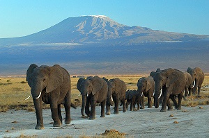
アフリカ最高峰”キリマンジャロ”標高5,895m
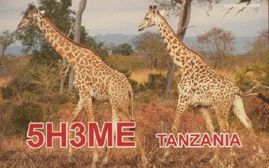
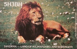
タンザニアはどんな国
・広大な大自然
・ビッグファイブ(ゾウ、ライオン、バッファロー、ヒョウ、サイ)
・アフリカ最高峰キリマンジャロ
などなど
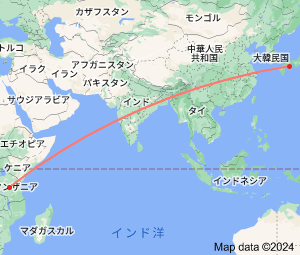
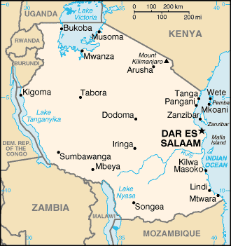
この地図をクリックすると拡大します。