World Geography
World Geography
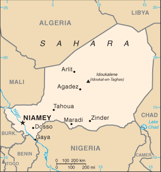
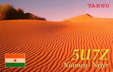
●世界の砂漠(サハラ砂漠) Desert of the World (Sahara Desert)
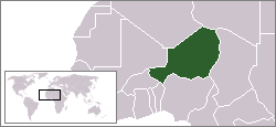
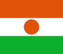
Niger
Western Africa
Niger
・
Niger
国旗やバナー、ボタン、青色文字などをクリックすると簡単な紹介ページへ移ります。
(世界最大の内陸国トップ5)
●世界の内陸国(準内陸)
Landlocked Countries of the World (Semi-landlocked Countries)
●西アフリカ地域の国とDXCCエンティティ West African Countries and DXCC Entities
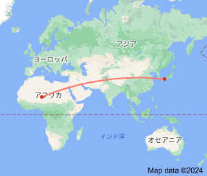
JA
Niger
JA
から
ニジェール
の方位と距離
西北西 約11,860㎞
●フランスの消滅DXCCエンティティ(フランス領西アフリカ) France's Deleted DXCC Entities (French Western Africa)
(JOCVのハムがアフリカの珍しいエンティティを雑魚にしてくれました。)
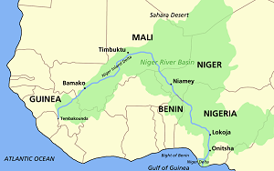
ニジェール川と国名
西アフリカ
の大河で、
ギニア
の山地から
マリ
へ流れ、大きく向きを変えて
ニジェール
、
ナイジェリア
を通ってギニア湾に注ぐ。
ニジェール
とその南
ナイジェリア
の国名の元になっている。(フランス語と英語の違い)
Continent;AF CQ;35 ITU;46 UTC+1 (JST-8)
JA5PWW
・
DXCC QSL Gallery
Geography of Africa
DXCC QSL Gallery
Geography of Africa
Niger
(5U) is bordered by
Libya
(5A) to the northeast,
Chad
(TT) to the east,
Nigeria
(5N) to the south,
Benin
(TY) to the southwest,
Bulkina Fasso
(XT) and
Mali
(TZ) to the north-west, and
Algeria
(7X) to the northwest.
Niger
, officially the
Republic of Niger
, is a
landlocked country
in
West Africa
named after the Niger River.
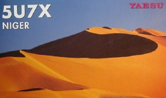
ウラン推定埋蔵量世界3位、砂の国
ニジェール
は、
西アフリカ
で
サハラ砂漠
の南縁に位置する
内陸国
で、国土の4/5を
サハラ砂漠
が占める国です。